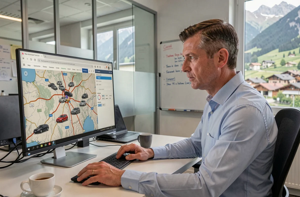
A utility vehicle serving the hamlets between Veynes and the col de la Croix-Haute loses mobile signal for several minutes on certain stretches. However, the onboard GPS unit continues to record positions in local memory, ready to transmit them to the servers as soon as the network returns. It is this type of terrain constraint that distinguishes a GPS fleet tracking solution suitable for the Hautes-Alpes from one designed for a dense urban fabric.
Network coverage in mountainous areas: the parameter installers often overlook
Most fleet tracking guides assume that mobile connectivity is continuous. Around Veynes, this assumption does not hold. The narrow valleys, mountain passes, and stretches of road without relay antennas create blank or gray areas where a standard GPS unit stops sending its data in real-time.
Insee highlights that mobile coverage remains a particular point of vigilance in the Hautes-Alpes. Before choosing a provider, it’s worthwhile to test the actual routes of the fleet with a simple phone, operator by operator. Some stretches between Aspres-sur-Buëch and the Dévoluy, for example, experience recurring outages.
The technical solution exists: a unit with a buffer stores positions offline and then sends them in batches as soon as the network returns. Not all equipment offers this function, or they limit it to a few dozen points. For a fleet that regularly operates at altitude, this is a primary selection criterion, not a secondary option.
You can delve deeper into GPS fleet tracking in Veynes to understand the local specifics of the system.
GPS fleet unit: what happens inside the vehicle
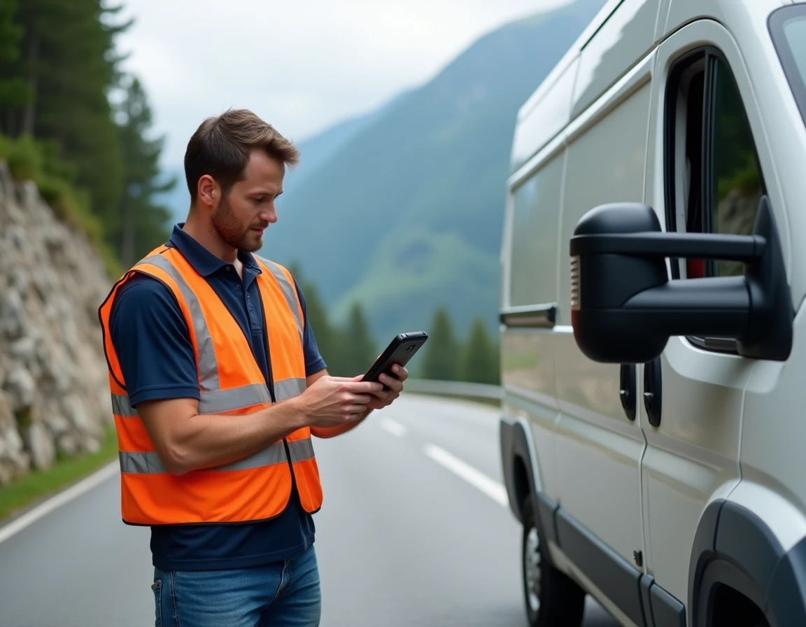
The physical device is a compact unit, often installed under the dashboard or plugged into the vehicle’s OBD port. It captures signals from GPS satellites to calculate the position, then transmits these coordinates via the mobile network (2G, 3G, or 4G depending on the model) to a centralized platform.
On this platform, accessible from a browser or an app, the manager visualizes each vehicle on a map. The data is not limited to position: instantaneous speed, engine-on idle time, daily mileage, and sometimes fuel consumption are also reported.
What the unit does not do on its own
A GPS unit does not replace a complete fleet management software. It provides raw data. It is the software platform that transforms this data into decisions: zone overrun alerts, trip reports, detection of risky driving behaviors. The choice of software is as important as the choice of hardware.
Feedback varies on this point, but several fleet managers in rural areas find that the quality of the software interface weighs more heavily in daily operations than the raw GPS accuracy, which remains comparable from one manufacturer to another.
Legal framework for GPS tracking and data portability: what changes for fleets
In France, the geolocation of vehicles used by employees is regulated by the CNIL and the GDPR. The employer must inform each driver, declare the purpose of the processing, and limit data collection to what is strictly necessary for the objective (route optimization, safety, customer billing).
GPS tracking cannot be used to constantly monitor an employee whose activity does not justify it. A salesperson free to organize their appointments does not fall under the same framework as a delivery driver assigned to scheduled routes.
The Data Act and vehicle data portability
The European Data Act strengthens companies’ rights to access data generated by their connected vehicles. In practical terms, this means that a company can request to retrieve its telematics data to entrust it to the provider of its choice.
Dependence on a single provider of units decreases. If the contract with a provider is no longer suitable, migrating to another becomes legally simpler. However, the GDPR continues to apply as soon as the data allows for the identification of a driver.
Cybersecurity of GPS units: an attack surface not to be neglected
Cybersecurity is rarely discussed when installing a tracker in a utility vehicle. However, GPS fleet units expose several vulnerable points:
- The communication between the unit and the cloud server, which can be intercepted if encryption is absent or outdated
- Remote access to the management platform, exposed to fraudulent login attempts if authentication is weak
- Physical access to the unit itself, which can sometimes allow data extraction or configuration modification
European requirements are gradually strengthening cybersecurity obligations for connected vehicles. For a fleet manager, the concrete question is simple: does the provider encrypt end-to-end communications? Does access to the platform require two-factor authentication?
A poorly secured unit exposes the real-time position of all vehicles to a malicious third party. In the case of a fleet transporting expensive equipment or operating on sensitive sites, the risk goes beyond mere inconvenience.
Criteria for choosing a GPS system suitable for rural fleets
For a fleet based in Veynes or in nearby municipalities, the specifications differ significantly from those of a company in the Île-de-France region. Here are the points to check before signing:
- Local storage capacity of the unit in case of mobile network loss, expressed in number of positions or duration of offline autonomy
- Compatibility with utility vehicles and construction machinery (OBD port, direct battery power, vibration resistance)
- Data portability in accordance with the Data Act, to avoid contractual lock-in with a single provider
- Level of encryption for communications and the provider’s security update policy
Testing the equipment on actual routes before committing remains the most reliable method. A one-month trial period on two or three vehicles allows for verifying the reliability of data transmission on mountain roads, the readability of the platform, and the responsiveness of technical support.
GPS fleet tracking in Veynes works like anywhere else, provided that local constraints are integrated from the start: intermittent network coverage, mountain pass roads, distances between intervention points. A well-sized system for this context produces tangible gains in route organization, fuel consumption, and traceability of interventions.